An Interactive Map Of Irish Shipwrecks
Ireland’s Wreck Viewer maps thousands of sunken ships in Irish waters, many with gripping stories. Full article here at Big Think.
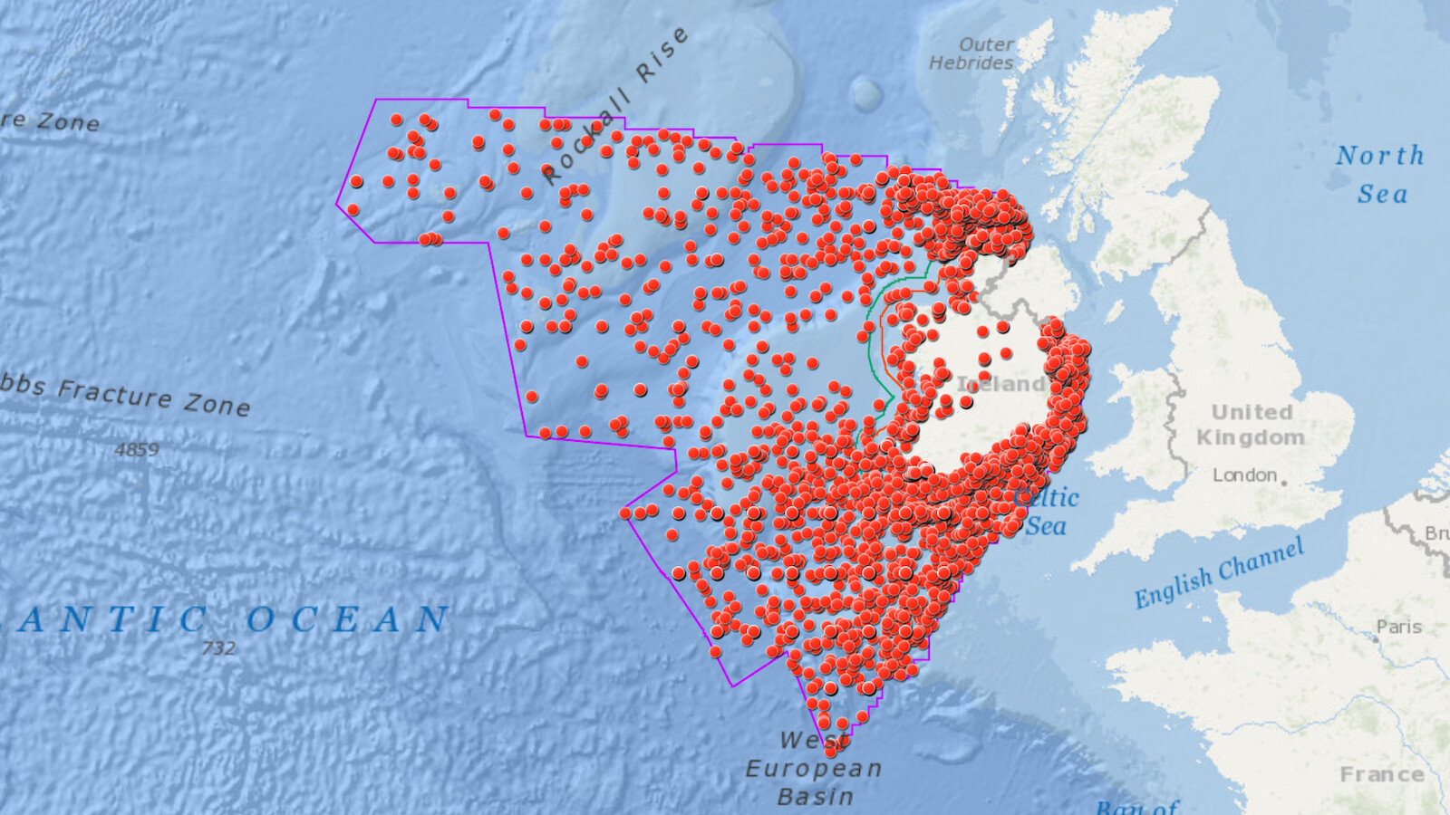
Ireland’s Wreck Viewer maps thousands of sunken ships in Irish waters, many with gripping stories. Full article here at Big Think.